Elevate Your Perspective. Accelerate Your Results.
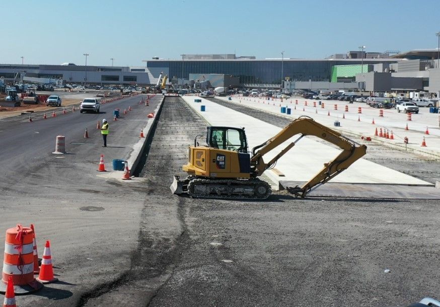
Aerocentrix delivers high-precision drone data, photography, and video. We provide the aerial intelligence and imagery needed to scale
construction projects and elevate real estate listings.
Why Partner with Us?
- FAA Certified & Insured: FAA Part 107 licensed for complex airspaces with full liability coverage for every mission.
- Creative Excellence: Professional-grade aerial photography and cinematic 4K video
- Engineering-Grade Precision: Seamless BIM/CAD integration designed for construction and infrastructure workflows.
- Millimetric Accuracy: 3D mapping and 360° virtual walkthroughs for comprehensive site awareness and data integrity.
- Rapid Turnaround: High-resolution data and processed media delivered on your schedule.
- Bilingual & Regional: Deep local expertise and seamless mobilization across the Tri-State area and Puerto Rico.
Targeted Solutions
- Construction & Industry: Orthomosaic mapping, weekly progress tracking, and thermal inspections.
- Real Estate: High-end 4K cinematography, floor plans, and virtual staging.
- Marketing & Creative: Dynamic brand promos, event coverage, and social-ready content.
Advanced Flight Operations: Tri-State & Puerto Rico
Based in Clifton, NJ, we deploy remote sensing and high-resolution imaging across NJ, NY, CT, PA, and PR.
From cinematic photo and video for real estate to precision-mapped industrial sites, we provide the
aerial intelligence and reality capture required to document and scale your assets.
Mailing & Logistics
United States
AEROCENTRIX
444 Valley Rd
Clifton, NJ 07013
Mobile: 917-744-6458
Puerto Rico
AEROCENTRIX-PR
410 Ave Monte Sol
Suite 14, PMB 1064
Fajardo, PR 00738
Mobile: 917-744-6458
360° Reality Capture
Streamline project management and stakeholder engagement with our high-fidelity digital twins. We provide more than just a view; we provide a comprehensive, navigable record of your assets.
- Immersive Walkthroughs: Seamless interior and exterior virtual tours that allow stakeholders to explore sites remotely from any device.
- World-Class Visuals: Leverages industry-leading software to produce high-resolution, dimensionally accurate environments.
- "Point-in-Time" Documentation: Captures exact site conditions at specific project milestones for historical record, dispute resolution, and progress tracking.
- Remote Accessibility: Reduces travel costs and site-visit fatigue by providing a centralized, cloud-based platform for collaborative inspections.
- Seamless Integration: High-fidelity data that can be used alongside traditional BIM/CAD workflows to ensure total site awareness.